Sheep Fire Update 8-30-15 8:30am
Fire Break near completion at Essex. No structures have been lost.
The Thompson-Divide Complex is comprised of the Sheep and Granite Fires on the Flathead National Forest and the Thompson Fire in Glacier National Park. The Sheep fire is the incident priority as it is approaching US Hwy. 2 and the BNSF railway and is threatening the community of Essex.
An evacuation order remains in effect for the Essex area. The American Red Cross has established an evacuation center at West Glacier Elementary School at 160 Old Bridge Rd., (800) 272-6668.
Highway 2 is closed between mileposts 176.8 at Schellinger and 185 at Bear Creek. BNSF trains and Amtrak are running intermittently. Call 511 or visit http://www.mdt.mt.gov/travinfo/alerts.shtml for current road status. For more information on Amtrak call (800) 872-7245.
WEATHER: The predicted cold front arrived in the fire area by mid-afternoon yesterday. Peak winds did not reach the levels anticipated. Today, the fire area will have mostly cloudy conditions with chances of showers and afternoon thunderstorms. The NW Park area did experience some trace amounts of rain over night. Temperatures will be reduced and humidity higher with SW winds of 15-25 mph switching to NW this afternoon. General fire behavior is expected to be moderated.
The Sheep Fire is now estimated at 2101 acres, and is burning in very steep terrain with limited access. The fire is about 1 mile south of Essex and about 1/8 mile from the train tracks between Tank Creek and MacDonald Creek. The fire has not crossed Sheep Creek to the south. Moderated fire activity will likely allow direct suppression efforts in the Sheep Creek area. Construction of the shaded fuel break around Essex is near completion. The logs and slash created by this effort are being moved to a safe location. Crews will begin reducing fuels along Essex Creek Road to the Marion Bridge using a feller-buncher to make this position more defensible if burning operations are required later. Crews may also begin fuels reduction efforts on County park land on the south side of Essex. Helicopters may have visibility problems early with haze and fog that may delay support operations with water drops and logistical shuttle missions. Structural protection measures are in place in Essex. Night shift continues to monitor fire movement and patrol the Essex area and Walton compound for any encroaching fire activity. No structures have been lost to this fire.
The Granite Fire,840 acres, is burning in very steep terrain in a mixed conifer forest. The fire is located west of Marias Pass and south of Hwy. 2. The fire started in the Great Bear Wilderness and has moved north out of the Wilderness. The fire has moved west along a ridge between 2 unnamed tributaries of Granite Creek and northwest toward Patrol Ridge. Crews have implemented structural protection measures on other facilities in the fire’s vicinity. Crews have established locations for fireline construction and possible shaded fuel break opportunities when sufficient crews become available for their construction. Helicopter bucket drops were used on a limited basis due to poor visibility.
The Thompson Fire is now 17,857 acres, and is located in remote south-central backcountry of Glacier National Park about 15 miles east of the West Glacier entrance in the Thompson and Nyack drainages west of the Continental Divide. All fire personnel have been removed from this fire. It will be monitored from the air for any increased fire activity. Pumps and hose lays are in place in case a future need arises. The fire continued to have some activity in the southeastern area of the fire yesterday.
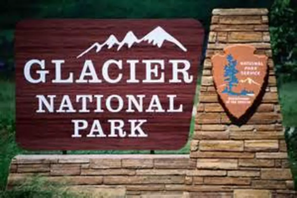
Most of Glacier National Park is unaffected by this wildfire complex and is available for recreational use. Limited backcountry closures are in place. For more specific visitor information, please see the park website.
The Thompson Fire has not impacted park roads.
The Going-to-the-Sun Road is open.
Closures are in effect for some trails in the vicinity of the fires for Glacier National Park and Flathead National Forest. For more info, please click HERE or for Flathead NF call Hungry Horse Ranger District (406) 387-3800. An area closure around the Granite and Sheep Fires in the Great Bear Wilderness is in place. Contact Hungry Horse Ranger District for more information. The order and map are posted HERE .
More From K96 FM