Alice Creek Fire Update 8-29-17 1:30pm
Update from the U.S. Forest Service:
AUGUSTA, MT – Yesterday, the Alice Creek fire grew an additional 500 acres, bringing the total fire size to 5,741 acres. The containment remains 0%. The fire spread was primarily to the northeast, just past a land mark called the “Hunting Cabin” and to the southwest to Green Mountain. The growth occurred later in the evening and into the twilight hours.
The fire is primarily growing on windy days when sustained winds race up to 30 mph. During these days, fire activity can become extreme, throwing embers out ahead of the fire, over-dominating terrain influences. On less windy days, the fire is growing as a result of topography. In the steeper drainages, the fire will run up hills and back downhill. In places where wind and terrain align, the fire will grow more quickly. Due to the diverse topographic features found along the Continental Divide, the fire is growing in multiple directions and will be influenced by both wind and topography.
Today will bring another windy day with afternoon wind on Alice Ridge reaching 30mph. This is a result of a weak thunderstorm moving across western Montana. Firefighters anticipate the fire’s growth to be active today. Multiple smoke columns may be visible from the Elk Meadows/Evergreen subdivision and surrounding areas. These conditions may again ground air support today which will delay the delivery of retardant and water. It may also challenge firefighters’ ability to see the fire.
Firefighters are successfully working along the southwestern flank of the fire, improving containment line along the Wildcat Ridge. This will eventually meet up with Alice Creek Ridge where retardant and water are holding the fire in check until firefighters can reinforce it with mechanical containment line.
A structure protection group received additional engines yesterday and additional people to assess structures that are to the south and west of the fire. The evacuation notices for Elk Meadows/Evergreen Subdivision Meadow area remain in effect.
The fire is unstaffed on the northern flank beyond the Continental Divide. This area of the fire is inaccessible to firefighters. The fire is slowly backing downhill and is not a threat to any resources. More experienced firefighters are scouting the area to assess where firefighters may be strategically located to develop a plan for future containment of the northern flank.
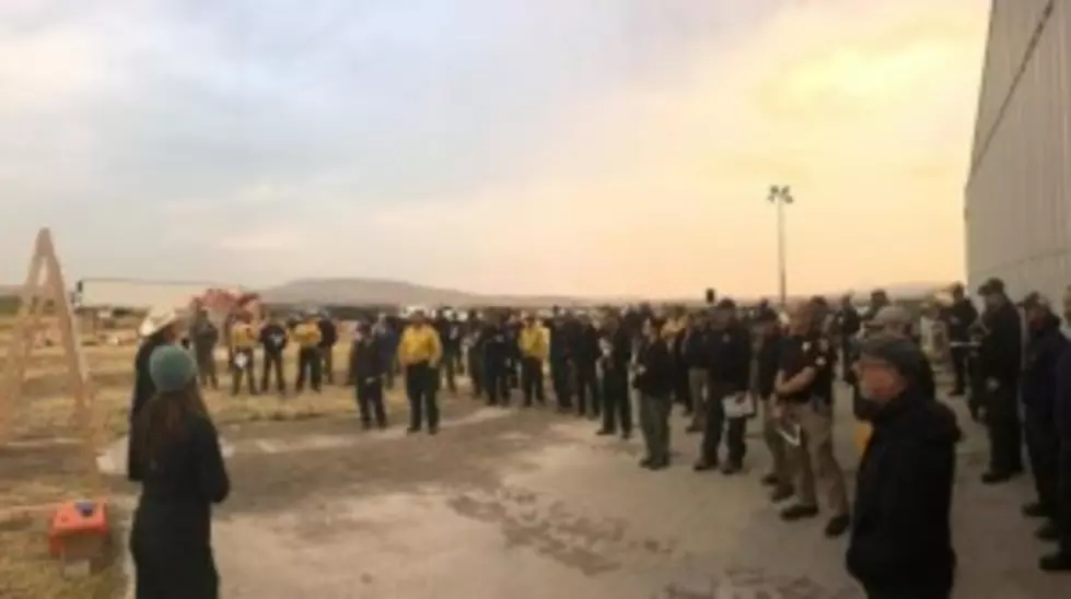
A community meeting was held last night in Augusta to update the public on current and planned fire actions. One hundred twenty-five people attended the meeting. Community meetings will be taking place regularly in Augusta to provide situational awareness to the residents north of the fire area.
Hunting season is upon the Helena Lewis and Clark National Forest. It will begin September 2. An area closure is in place for the fire area. This will primarily affect hunting unit 422, east of the Divide and 280 and 281, west of the Divide. Please be aware of this area closure when planning for hunting trips as access will be prevented. More information about hunting units is available at: http://fwp.mt.gov/hunting/planahunt/
EVACUATIONS/ PRE-EVACUATIONS: Lewis and Clark County Sheriff issued mandatory evacuations for residences in the Elk Meadows (Evergreen) subdivision and to ranches on Road 434/435 (north of Highway 200). A Pre-evacuation notice was given to residences located near Elk Meadows subdivision (about mile-marker 93) along Hwy 200 up to mile-marker 98. A Red Cross shelter is available in Helena at First Assembly of God Church (2210 Dodge Ave.) if needed. Please call 1-800-272-6668 for assistance.
ROAD CLOSURES: Lewis and Clark Co. Sheriff officers are staffing road blocks located at Elk Meadows driveway, the intersection of Hwy. 200 and Hwy. 434 and the intersection of Flat Creek Rd and Hwy. 434 to prevent unnecessary traffic from entering the fire area.
TRAIL & AREA CLOSURES: Due to the fire activity, an area closure is in place that affects multiple trails and roads. A trail re-route is established for hikers along the Continental Divide National Scenic Trail. A map of the area closure is posted HERE.

